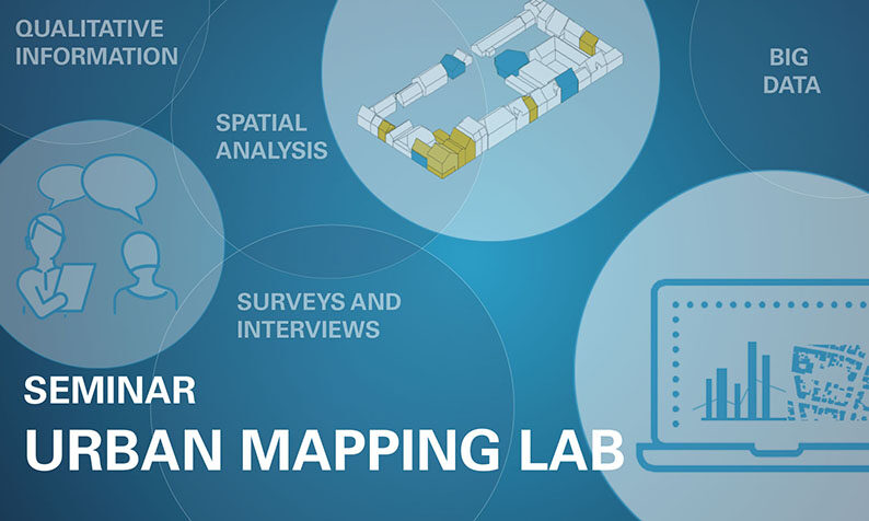
This course aims to support urban analyses that follow a holistic approach and to visualize the results of these analyses in a way that experts and local stakeholders can understand and assess.
Spatial interventions in already existing neighborhoods require a high degree of analysis and examination of the local conditions to build a basis for a valuable contribution to the upgrading of the site. In this context, the map-based visualization of information – commonly referred to as “mapping” – is widespread in the early stages of urban planning and public engagement processes.
However, while we often have a large amount of quantitative, statistical data due to the advancing digitization of urban data sets, collecting less tangible, qualitative data is still a challenge. How do we compile, combine and evaluate quantitative and qualitative data, and what digital tools do we have to help us within our research and visualization process? These questions pertain to a methodological approach on the one hand and a technical approach on the other hand.
Our seminar will address both the methodological and the technical dimensions of these questions. After a theoretical examination of mapping as an analysis and research tool during our first seminar phase, we will experiment in hands-on workshops with different digital applications to critically question how these can be used and to what extent they can contribute to a better understanding of a specific site.
This seminar will be closely linked to the international design project “Muscat Studio” (BSc. / MSc.) offered by the SI, but you can also combine it with other urban design projects.


